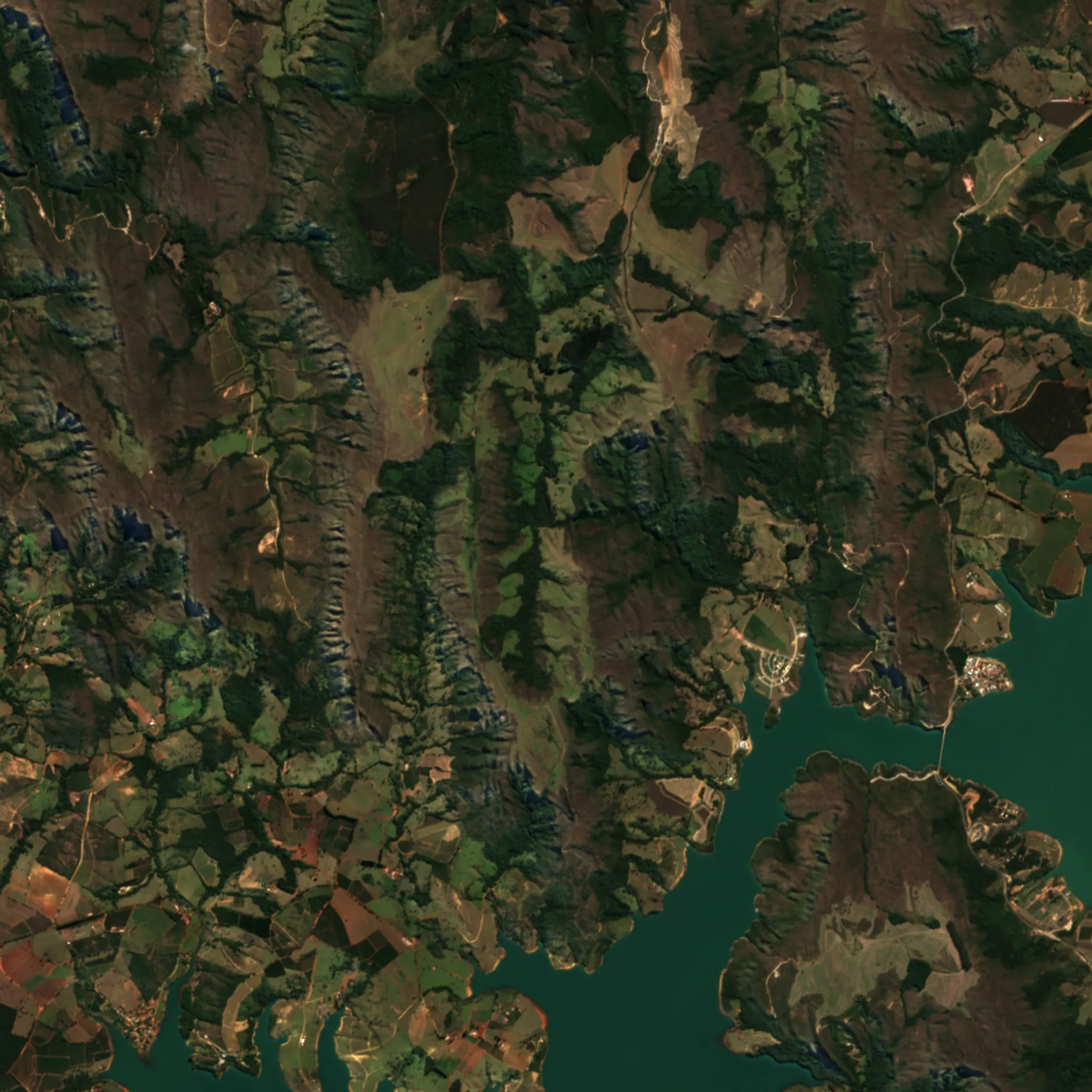
The plan of the refuge, point by point.
From the smart gatehouse on the high plateau to the marina in the western cove of the peninsula, discover the 25 points of the masterplan and the real location of the farm. To fly over the terrain in 3D, visit the explorer.
Twenty-five points that define the refuge.
From the smart gatehouse on the high plateau to the marina in the western cove of the peninsula, every point of the masterplan was designed to unite faith, security and self-sufficiency on the shores of Lake Furnas.
-
 Render
 Sector I
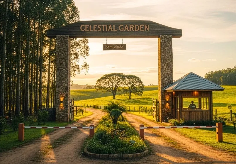
Smart Gatehouse
The land gateway to the refuge: access control with 24-hour monitoring, vehicle and facial recognition.
Learn More → -
 Render
 Sector I
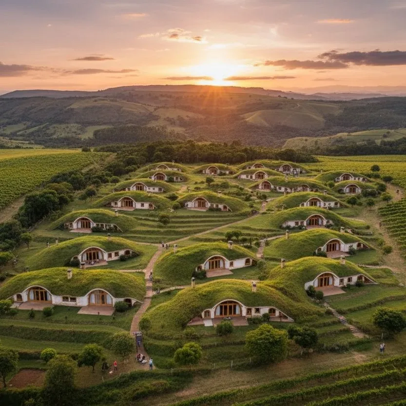
Catholic Community
The heart of Celestial Garden: 199 residential lots around the chapel and common leisure area, consecrated to the Sacred Hearts of Jesus and Mary.
Learn More → -
Sector I
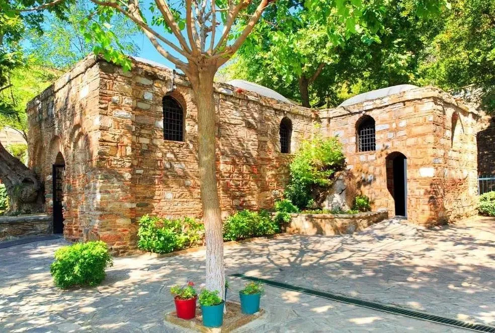
House of Our Lady of Ephesus
A replica of Meryem Ana Evi, the house of Mary in Ephesus — the first building to be constructed in the development.
Learn More → -
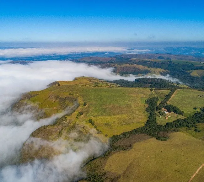
Sector I
Carlo Acutis Formation School
At the highest point of the development, overlooking the plateau and the valley, the formation school dedicated to Saint Carlo Acutis, the saint of the digital age.
Learn More → -
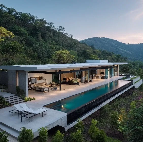 Render
 Sector I
High-End Residences
Eight high-end lots on the highest and safest part of the property, averaging 33,140 m² each.
Learn More → -
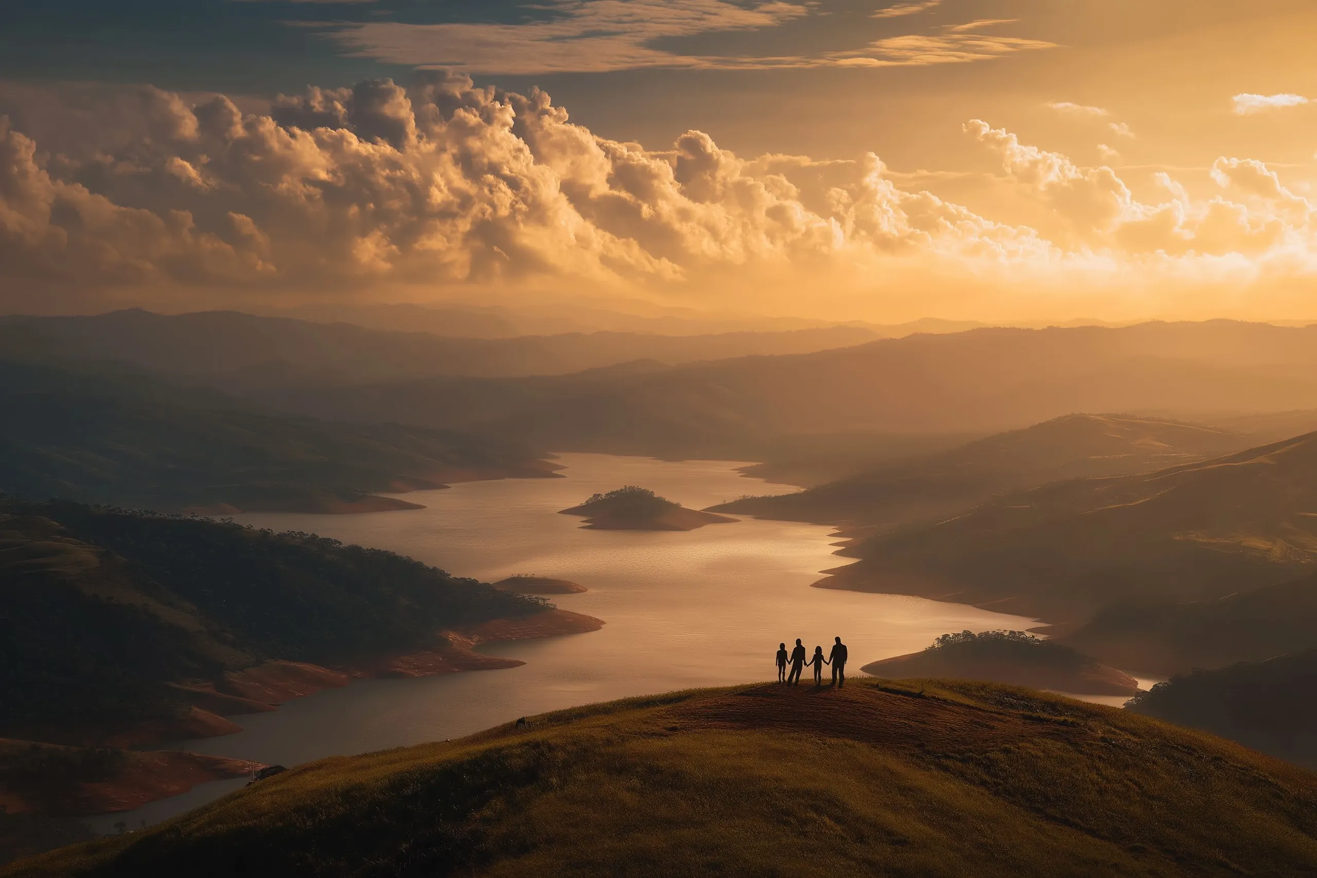
Sector I
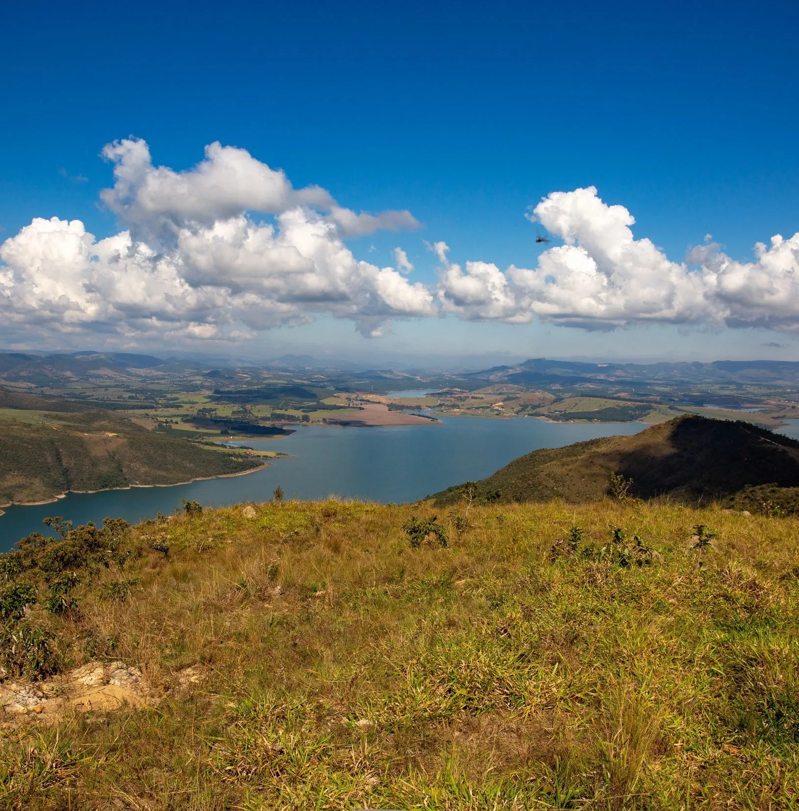
Lookout
Overlooking the waters of Lake Furnas, the lookout holds the golden sunset that inspires the name of the refuge.
-
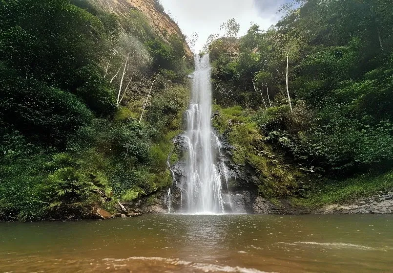
Sector II
Chapadão Waterfall
An 83-meter waterfall with a panoramic bar and restaurant — fed by some of the more than 30 mineral water springs on the farm.
Learn More → -
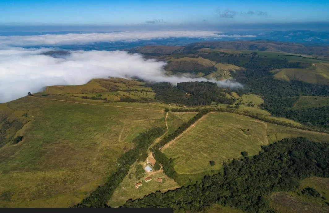
Sector II
Private Airport
A paved 1,600 × 30 meter runway with a structured hangar for the development’s executive and logistics operations.
Learn More → -
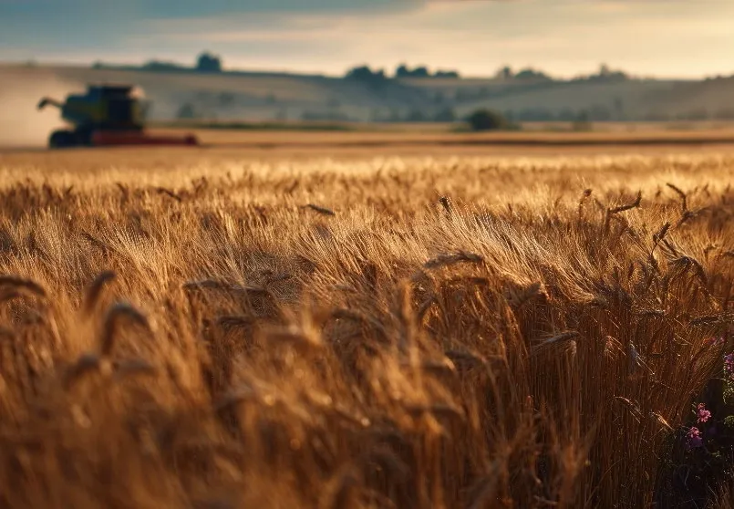
Sector II
Production Areas
More than 4.7 million m² of mechanized and manual crops, grain industry, eucalyptus reserve and cattle ranching.
Learn More → -
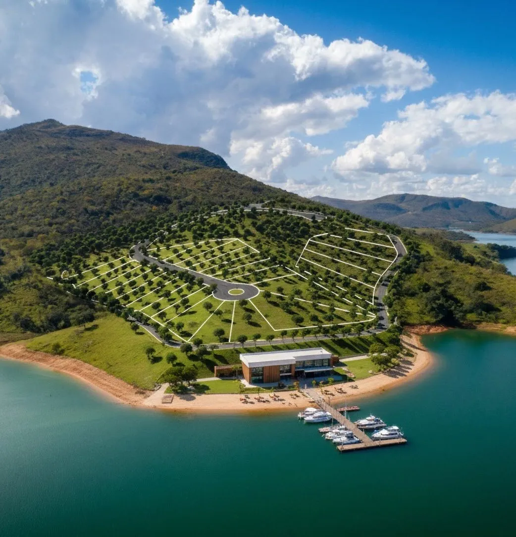 Render
 Sector III
Nautical Club & Marina
A nautical club in the western cove of the peninsula, with a sand beach at lake level, a water park of eight pools and waterslides, twelve buildings and a marina for 48 boats sheltered by a 270 m breakwater — the international arrival point via Terramare airport and a 3.5 km lake crossing.
Learn More → -
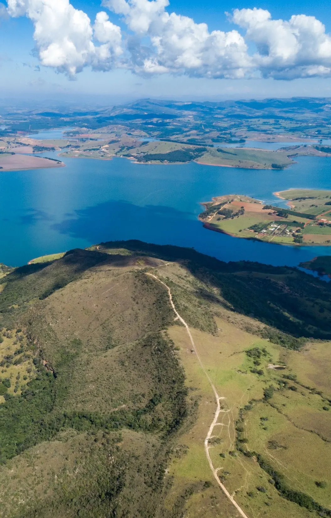
Sector III
Lakefront Lots
Ten high-end lots carved into the eastern shore of the peninsula: the rear boundary of each one is the waterline of Lake Furnas itself, with a private floating pier and about 38 metres of water frontage.
Learn More → -
Sector III
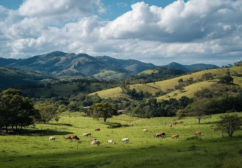
Dairy & Livestock Pavilions
Dairy industry and pig and poultry pavilions on the northern portion of the peninsula.
Learn More → -
 Render
 Sector I
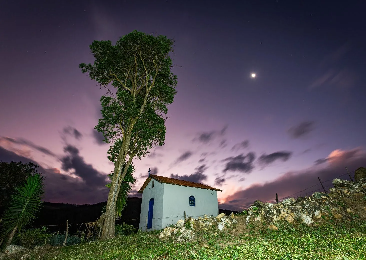
Main Chapel
The community’s mother church, dedicated to the Sacred Hearts of Jesus and Mary — a wide nave, a gable bell-cote and a rose window over the churchyard that opens onto the refuge’s central road.
Learn More → -
 Render
 Sector I
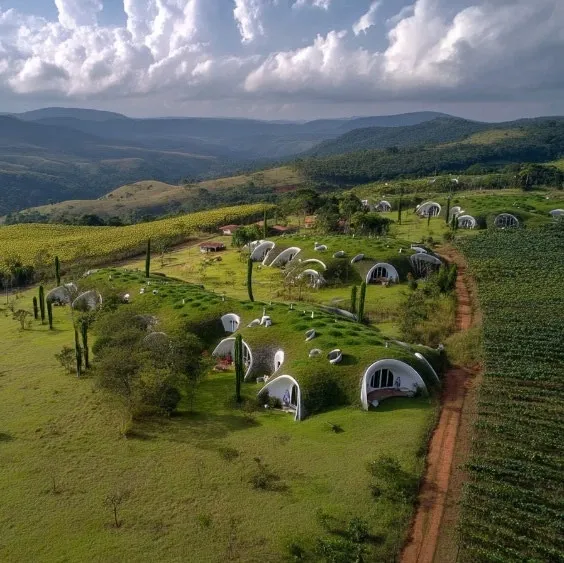
Administrative Center
The development’s management hub: administration, security and resident services gathered in a curved bar beside Sector I’s trunk road.
Learn More → -
 Render
 Sector I
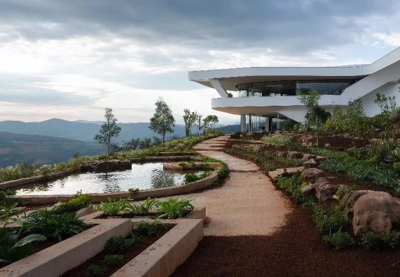
Medical & Dental Center
An outpatient clinic with urgent care, medical and dental offices and its own ambulance, ensuring health care within the refuge.
Learn More → -
Sector I
Nursery & Technical School
Education from early childhood to technical training in the same hub — nursery, schooling and workshops that prepare the community’s youth.
Learn More → -
Sector I
Rural Market & Bakery
The community market supplied by the farm’s own produce, with a bakery that bakes the daily bread from wheat harvested in the valley.
Learn More → -
Sector II
Spiritual Retreat House
A quiet refuge between the forest and the springs, for retreats, prayer gatherings and spiritual formation away from the noise of the world.
Learn More → -
Sector II
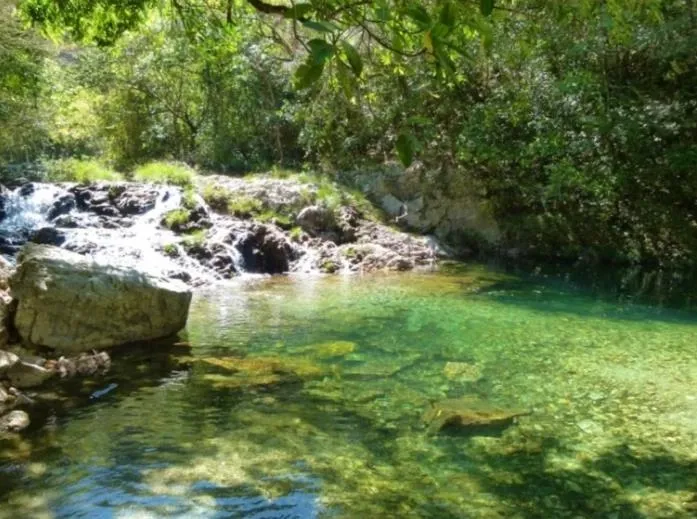
Club & Natural Pools
The community’s leisure area with courts, a deck and natural pools fed by the farm’s springs — where families gather at sunset.
Learn More → -
 Render
 Sector II
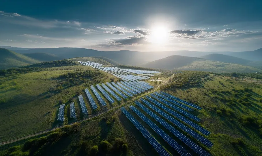
Solar Plant
Rows of photovoltaic panels facing the afternoon sun, with an inverter house and battery bank, sustaining the development’s energy self-sufficiency.
Learn More → -
 Render
 Sector II
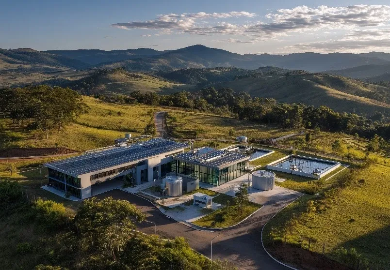
Water Treatment Station
Capture and purification of the farm’s 30-plus mineral springs, delivering treated water to every lot in the community.
Learn More → -
Sector II
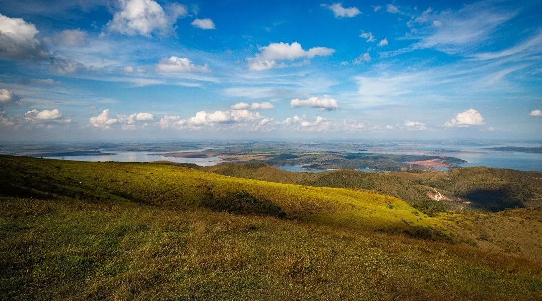
Winery
Vines on the sunlit slopes and a climate-controlled cellar for artisanal wine production — one more fruit of the valley’s land.
Learn More → -
Sector II
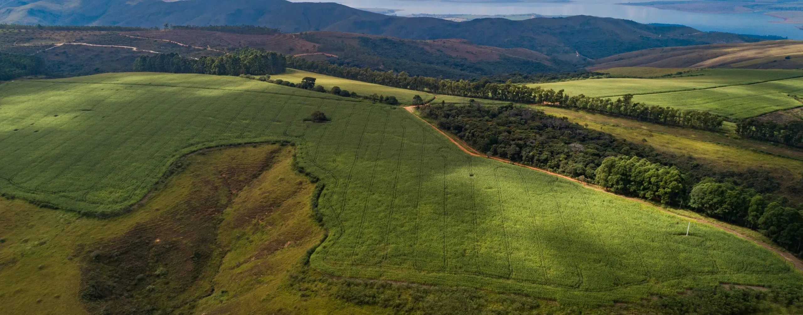
Community Gardens & Orchards
Vegetable beds and fruit orchards tended by the community itself, supplying the market and the tables of the refuge.
Learn More → -
Sector II
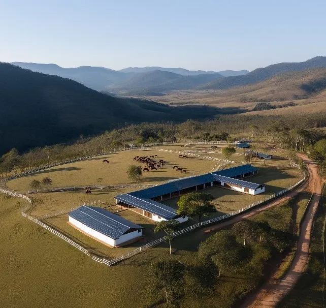
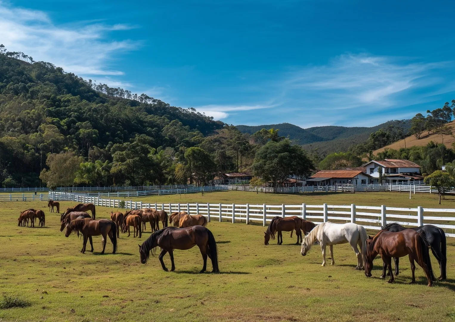
Equestrian Center
Breeding, training and equestrian leisure in pastures and paddocks at the forest’s edge — horses for work and for family rides.
Learn More → -
Sector II
Construction Materials Plant
An on-site factory of blocks and precast parts supplying the material for the development’s works, cutting cost and construction time.
Learn More →
The land as it is, seen from above.
The georeferenced boundary and the masterplan roads over Google satellite imagery — between Guapé and Pimenta, on the shores of Lake Furnas, with Santo Hilário across the water.